Vessel traffic services
Vessel traffic services (VTS) are recognised internationally as an aid for safe and efficient movement of vessels. Maritime Safety Queensland is the VTS provider for VTS in Queensland.
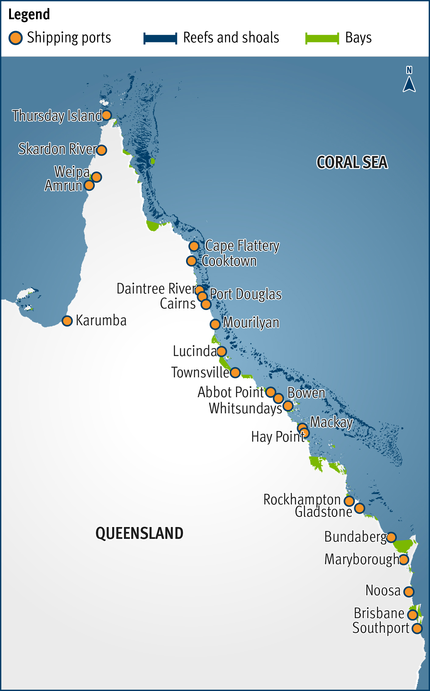
There are 5 regional VTS centres along Queensland’s coast:
- Cairns
- Townsville
- Hay Point
- Gladstone
- Brisbane
The Townsville and Gladstone centres also provides the Great Barrier Reef and Torres Strait Vessel Traffic Service (Reef VTS) that monitors the Great Barrier Reef and Torres Strait region.
Vessel Traffic Services locations map
About VTS centres
VTS centres are traffic control centres for shipping in ports and their surrounding waterways. They operate 24 hours a day and use shore-based systems to:
- help identify and monitor vessels
- strategically plan vessel movements
- give navigational information and advice.
Benefits of a VTS centre
VTS centres interact and communicate with vessel masters and pilots to give them timely and important information that supports the decision-making process on board the vessel.
A VTS centre uses their tools to help:
- prevent incidents from developing
- prevent incidents from developing into accidents
- prevent accidents from developing into disasters
- mitigate the consequences of incidents, accidents and disasters
- prevent pollution and coordinate response activities.
The reliability and continuity of communications from vessels in the area affects the VTS centre’s ability to provide clear and accurate information. Accident prevention depends on:
- how well the VTS centre can respond to a developing unsafe situation
- the VTS centre’s ability to give warnings about dangerous situations.
Functions of VTS
VTS centres monitor and communicate with vessels for safer navigation.
This is done by maintaining a vessel traffic image of vessels moving through the area. A vessel traffic image, or integrated surface picture, is a visual representation of the position and movement of vessels on a geographic information system.
The vessel traffic image allows VTS officers to talk to individual vessels in their area and give and receive:
- simple information, like weather warnings, safety information and the position of other vessels
- more complex traffic management information.
VTS centres provide vessel masters and pilots with:
Purpose of VTS
The purpose of VTS is to contribute to the safety of life at sea, improve the safety and efficiency of navigation and support the protection of the environment within a VTS area by mitigating the development of unsafe situations through:
- providing timely and relevant information on factors that may influence ship movements and assist onboard decision-making
- monitoring and managing ship traffic to ensure the safety and efficiency of ship movements
- responding to developing unsafe situations.
Objectives of the VTS
These objectives are in alignment to the purpose of VTS as defined by the International Convention for the Safety of Life at Sea (SOLAS) Chapter V (Safety of Navigation) Regulation 12, VTS contributes to:
- Enhance navigational safety by interacting with shipping to ensure safe and efficient movements and minimise maritime accidents and damage to the environment from ship-sourced pollution.
- To maximise staff professionalism and stakeholder service satisfaction at all times.
- Provide an accurate traffic picture by maintaining VTS equipment and assets that enables effective service delivery.
- Maintain an effective and efficient Vessel Traffic Service.
Ship encounter information
Ship encounter information includes:
- the position, identity and intentions of other vessels in the area
- predicted vessel encounters or where vessels might pass each other.
Ship encounter information is not broadcast across the whole VTS area. VTS operators give this information to individual vessels as needed and actively contact vessels if significant changes are relevant to them.
Vessels receive ship encounter information:
- when they enter the VTS area
- when there is new or changed traffic information
- at any other time they request it from a VTS centre.
Maritime safety information
Maritime safety information is about conditions, events or other factors that could affect a vessel safely navigating through the area. This includes:- faulty aids to navigation
- waterway conditions
- weather
- hazards
- other factors that may affect a vessel’s intended path.
VTS centres give maritime safety information relevant to the vessel’s location and intended course with the ship encounter information.
Maritime safety information is reported by vessels in the area and the information is only as accurate as the information given. As VTS centres may not have direct knowledge of all hazardous situations in the area, it’s important for all vessels to report hazardous situations that aren’t already in the maritime safety information advice.
Maritime safety information is also issued from Joint Rescue Coordination Centre Australia. These navigational warnings are called ‘AUSCOAST Warnings’.
Navigational support
VTS centres give navigational support when a vessel:
- may be approaching an area of danger (shallow water)
- deviates from a recommended route, and
- when requested by a vessels master.
Using the vessel traffic image, VTS operators are alerted to these types of situations and can then either:
- intervene to confirm the vessel’s intentions
- give navigational support to avoid an incident if the vessel is approaching danger.
Vessels in a VTS area must keep a listening watch on a specific radio frequency for navigational or other warnings—the radio frequency for each port is noted in its port procedures manual. Vessels may be contacted directly by VTS operators if there is a risk of incident, or where traffic flow is regulated.
VTS centre tools
A VTS centre communicates with vessels in their area using:
Vessel reporting system
When vessels enter a VTS area, they must contact the VTS centre to tell them:
- who they are
- where they are
- where they are going
- how they will get there.
This is usually reported using radio and must be done by all vessels in the area that are:
- 35m or more in overall length
- oil tankers, liquefied gas carriers or chemical tankers
- vessels that are involved in a towing or pushing operation.
The information from each vessel is used to create the vessel traffic image to track the vessel as it moves through the VTS area.
Other vessels moving through the VTS area may voluntarily report but must follow the standard reporting requirements found in the port procedures for that area if they do.
To get more information on reporting requirements, read the Port Procedures and Information for Shipping manual for the area you are operating.
Monitoring with sensors
VTS centres monitor vessels in the area using:
- radar
- Automated Identification System (AIS)
- VHF marine radio
- other maritime sensors.
Radar is a shore-based system that detects and tracks vessels in the area covered by the radar site. It gives regular information about the position and speed of a vessel.
AIS is a system on the vessel that uses VHF radio frequencies to continually transmit the vessel’s identity, position, course, speed and other data. It identifies the vessel’s position at regular intervals.
Another type of maritime sensor that is used by Reef VTS in the Great Barrier Reef and Torres Strait region to monitor vessels is automated position reporting (APR). APR is an Inmarsat C satellite system. Almost all vessels in Australian waters have Inmarsat C as part of their Global Maritime Distress Safety System carriage requirements. APR allows equipment on the vessel to be programmed to send position reports to the VTS centre at prescribed intervals (the default interval is 45 minutes). The system can also poll a vessel on demand and get an updated position report.
The information from these sensors is combined into the vessel traffic image.
Communication systems
To communicate with a VTS centre in Queensland, you need to use English and the International Maritime Organization’s (IMO’s) Standard Marine Communication Phrases.
You can communicate with a VTS centre in Queensland using VHF radio, which allows voice communication between vessels and the shore in the VTS area. The VHF frequencies to use for VTS communications are listed in the relevant port procedure.
If you can’t communicate with the VTS centre using VHF radio, you must give the required information by phone, fax or email. The relevant port procedure details each VTS centre’s:
- VHF frequency communication channel
- phone number
- fax number
- email address.