Gold Coast guides
 Southern Gold Coast
This booklet contains maps from southern Gold Coast to Southport including the Nerang River.
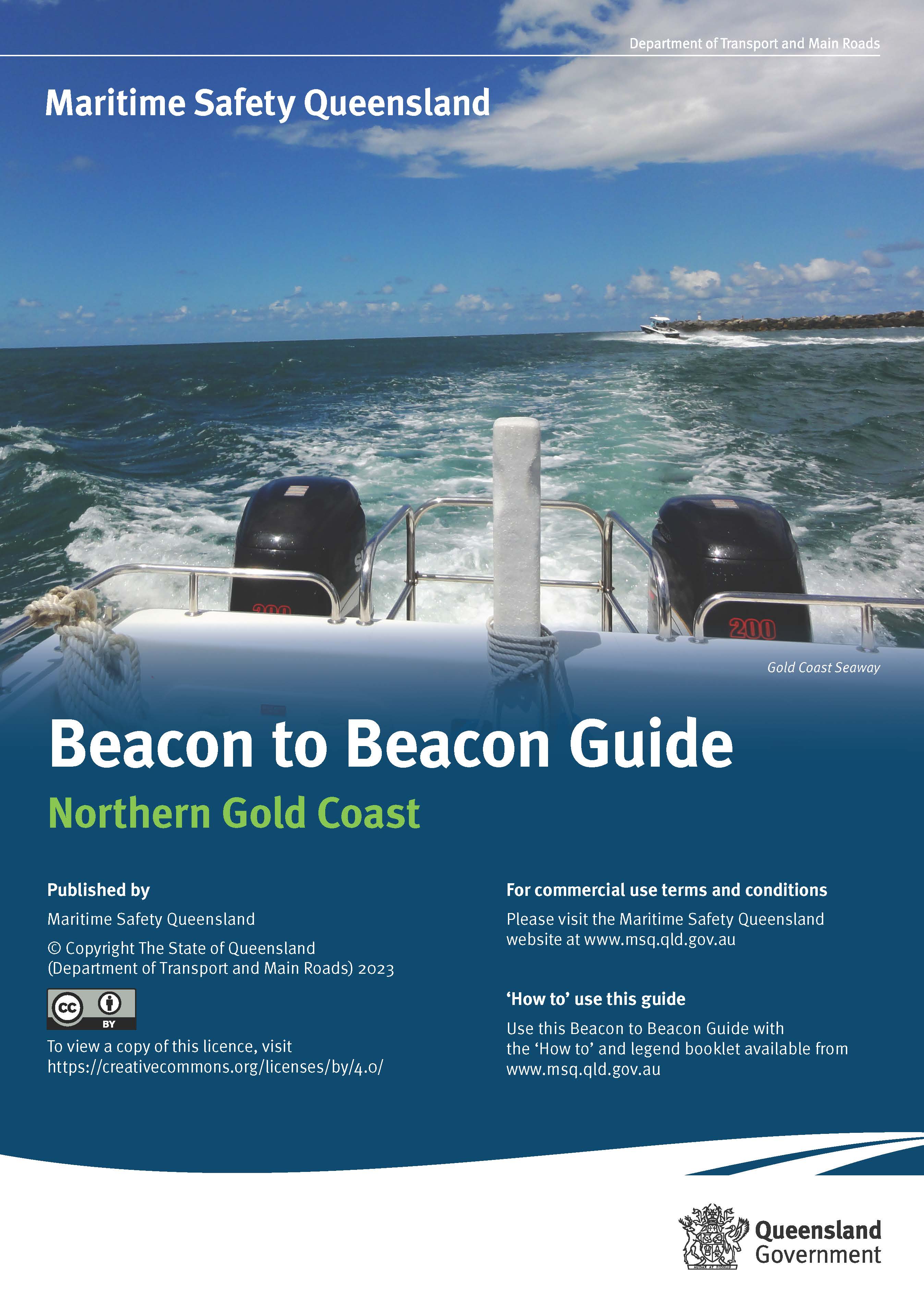 Northern Gold Coast
This booklet contains maps from Southport to South of Jumpinpin and Steiglitz. The Coomera and Pimpama Rivers are also included.
Download the How to use the Beacon to Beacon Guides (including a legend) PDF.
Terms and Conditions for downloading/reproducing Beacon to Beacon
Maritime Safety Queensland issues the Beacon to Beacon Guide booklets and/or individual maps under the Creative Commons licence using the licence BY (acknowledgement) and organisations and individuals are free to download, publish, reproduce, add to or repackage in part or in whole, the booklets and/or the individual maps of the Beacon to Beacon Guide for commercial or non-commercial use, with no licence fees, royalties or licence agreements, subject to acceptance of the following terms and conditions:
- On any digital or hardcopy reproductions, you must acknowledge the State of Queensland, Department of Transport and Main Roads (Maritime Safety Queensland) as the original owner and copyright holder or retain the existing acknowledgements shown in each booklet.
- You agree to be bound by the terms of the following disclaimer and you must include the following disclaimer on any reproductions (hardcopy or electronic) of the booklets and/or maps of the Beacon to Beacon Guide:
Disclaimer
When using the Beacon to Beacon Guide booklets and/or the maps contained therein for commercial or non-commercial purposes, the Department of Transport and Main Roads (Maritime Safety Queensland) gives no warranty of any kind whether express, implied, statutory or otherwise in respect to the availability, accuracy, currency, completeness, quality or reliability of the information or that the information will be fit for any particular purpose or will not infringe any third party Intellectual Property rights and the liability (including without limitation, liability in negligence, negligent misstatement and pure economic loss) of the Department of Transport and Main Roads (Maritime Safety Queensland) for any direct, indirect or consequential loss, damage, cost or expense howsoever resulting from the use of, or reliance on, the information is entirely excluded.
- If reproducing the maps for navigation use, you may add your own advertising material, logos, notes or similar to the maps provided that:
- the safety navigation content of the maps is not compromised; and
- you do not imply that the Department of Transport and Main Roads (Maritime Safety Queensland) endorses or recommends your product
- If reproducing the maps for navigation use and you physically alter, add to or remove any navigation information, you must include a reference to your own personal updates on or within the publication or maps that clearly indicates that you have altered the original content as supplied by the Department of Transport and Main Roads (Maritime Safety Queensland).
- You agree that the Department of Transport and Main Roads (Maritime Safety Queensland) makes no warranties that the information in this site is free from infection by computer viruses or other contamination. The Department of Transport and Main Roads (Maritime Safety Queensland) recommends that you utilise an appropriate virus scanner before downloading any information from this site and you agree that the Department of Transport and Main Roads (Maritime Safety Queensland) disclaims all liability for any damages arising from your access to, use of, or downloading of any information contained in this site.